
Large-Scale Bridge Laser Scanning
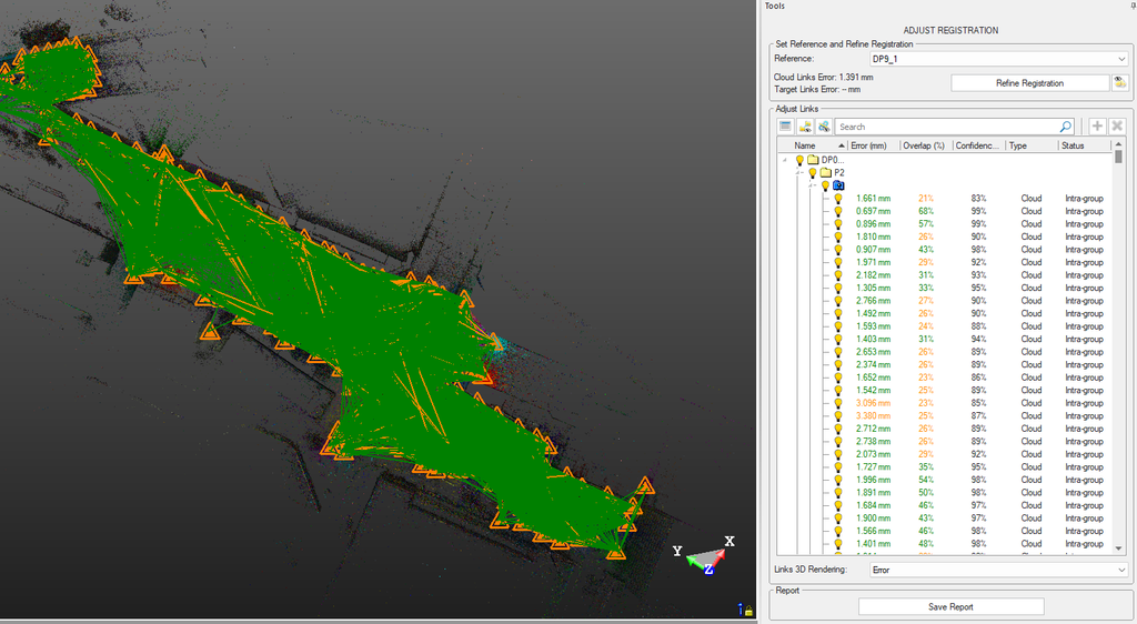
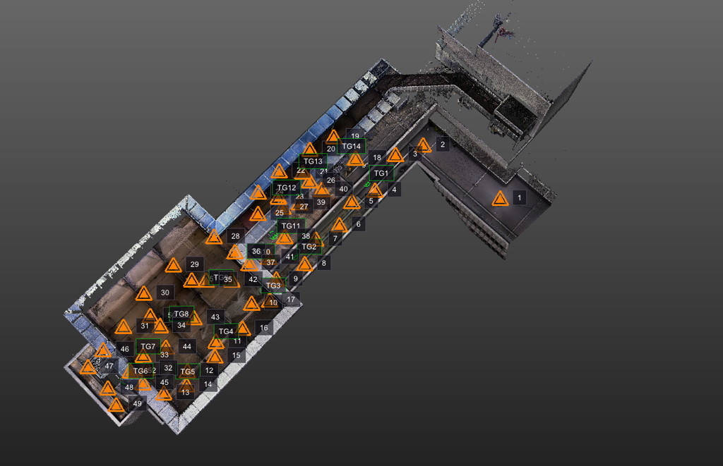
High-density terrestrial laser scanning and geodetic documentation of a 420 m long movable bridge structure composed of steel and reinforced concrete, with structural elements reaching approximately 50 m in height. The survey included the complete bridge geometry as well as internal counterweight and machinery rooms housing the mechanical systems for the movable bridge sections. More than 350 scan stations produced approximately 30 billion measured points, achieving an overall registration quality of approximately 8 mm and georeferenced positional quality of approximately 18 mm in plan and 8 mm in height. The resulting dataset provided comprehensive 3D documentation for detailed engineering analysis and geometric verification.
Terrestrial Laser Scanning for Metro Design
Terrestrial laser scanning performed to support the design of a new metro railway line and the development of an accurate 3D CAD model of the existing infrastructure. The survey comprised approximately 300 scan stations and 5 billion measured points, achieving positional quality of approximately 12 mm in plan and 5 mm in height. The registered and georeferenced point cloud provided a detailed spatial basis for 3D CAD modelling, engineering design, and geometric verification of existing conditions.
Infrastructure Laser Scanning
Terrestrial laser scanning of a complex road intersection to capture detailed existing infrastructure for engineering design. The point cloud was registered, cleaned and classified into relevant infrastructure elements, then used to produce an accurate 3D CAD model of the roadway, kerbs, surrounding structures, utilities and other visible features.
Helipad Laser Scanning for Inspection
High-density terrestrial laser scanning of a rooftop helipad and surrounding structural areas for detailed inspection and geometric assessment. The georeferenced point cloud provided accurate 3D documentation of the existing conditions, supporting surface analysis, dimensional verification, structural inspection, and identification of geometric deviations.
Under-Slab Cavity Scanning & Monitoring
SLAM-based 3D scanning of confined spaces beneath concrete slabs to identify and document subsurface cavities where conventional terrestrial scanning access was restricted. Repeat surveys were performed over time, with point-cloud comparison and inspection used to monitor geometric changes, material movement, and the development of void conditions beneath the slab.
Tunnel Laser Scanning for Rehabilitation Works
Terrestrial laser scanning of an existing tunnel to document current geometry and support planned rehabilitation works, including profile enlargement and shotcrete application. The georeferenced point cloud provided an accurate 3D basis for clearance and profile analysis, determination of required excavation areas, and planning and verification of the upcoming works.
Precast Roof Slab Deformation Monitoring
Seasonal deformation monitoring of precast concrete roof slabs within a large commercial complex, using terrestrial laser scanning to assess structural deflection under winter snow loads. Repeat point-cloud surveys enabled detailed surface comparison and analysis of changes in slab geometry, providing accurate spatial data for structural inspection and evaluation over time.
Scan-to-CAD Office Planimetry
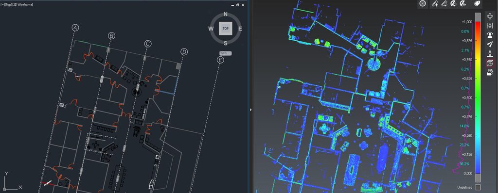
Detailed office planimetry developed from terrestrial laser scanning data, transforming the registered point cloud into accurate 2D AutoCAD floor plans. Architectural elements were systematically represented using structured CAD layers and standardized blocks, producing clean, precise and practical plan-view drawings for documentation and further design work.